Salvadora River
River Salvadora is a short and shallow channel that is 4 km long
which descends from the plateau of the Judean Desert to the Dead Sea
About Salvadora River
Meet the Persian Salvador.
It’s not a person’s name, it’s a low tree that can be found mostly in deserts, near springs or wadis.
The Persian Salvador can also be found in the Judean desert, in the north of the Mediterranean Sea.
Or to be precise, in the course of the Salvador River, which is indeed named after this tree that lies in its heart, next to a small spring.
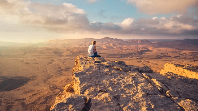
The river is located nearby a series of towering cliffs on the edge of the Dead Sea rift. mainly at the eastern end of the Judean Desert, west of the Dead Sea.
The river channel descends from a height of 400 meters above sea level and spills into the Dead Sea in a series of waterfalls.
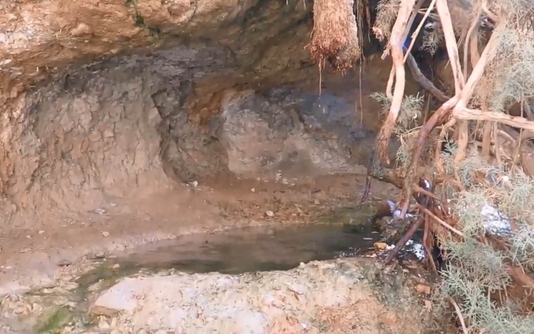
In the lower part of the stream comes a small spring, next to which grows the Persian salvadora.
Salvador River route
It is important to make sure to start the route from the right side. Then to go down the waterfalls and not go up to them.
Park the car at the Nahal Salvador parking lot. Located on Highway 90 about 5 km south of Mitzpe Shalem. Choose the blue trail at the intersection of trails located at the northern end of the parking lot.
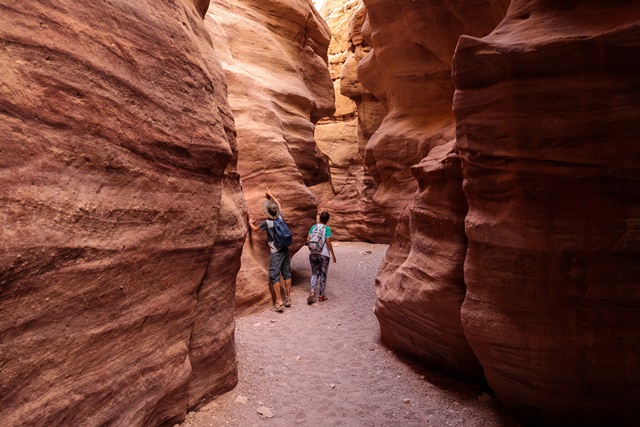
The path climbs over the deep gorge of the stream for half a kilometer. You can see clearly the highest waterfall of the stream – at a height of 190 meters.
You can also see the Salvador Cave in the south, where findings from the Chalcolithic and early Roman periods were discovered.
The path ends at the stream bed, where it meets the green path on which we will continue westward.
Already at the meeting point there is a small waterfall. 300 meters further we will see the Salvador bush after which the spring and the stream are named.
We will continue moving towards the bottom of the waterfall and from there we will return to the green route. We will follow the green route until the meeting with the blue route and continue to the end of the route.
The route will lead us down 5 waterfalls. We will go through the first and fourth waterfall as usual.
Down the second waterfall we will slide down the rock slide.
In the third and fifth waterfalls we descend with the help of fixed metal handholds in the rock.
At the end of the route we will עם up to road 90 with the help of two ladders and find ourselves a few meters from the starting point of the route.
Important Information about Salvadora River
- Route length: 2 km.
- Duration of the trip: about an hour and a half
- Level of difficulty: medium – suitable for families with good walking due to the descent of the waterfalls
- Equipment: protection from the sun, comfortable shoes for walking and enough water for every traveler.
- Seasons for the trip: all year round except for days when there is a risk of flooding and particularly hot days.
For more trips click on the following link: trips around the Dead Sea