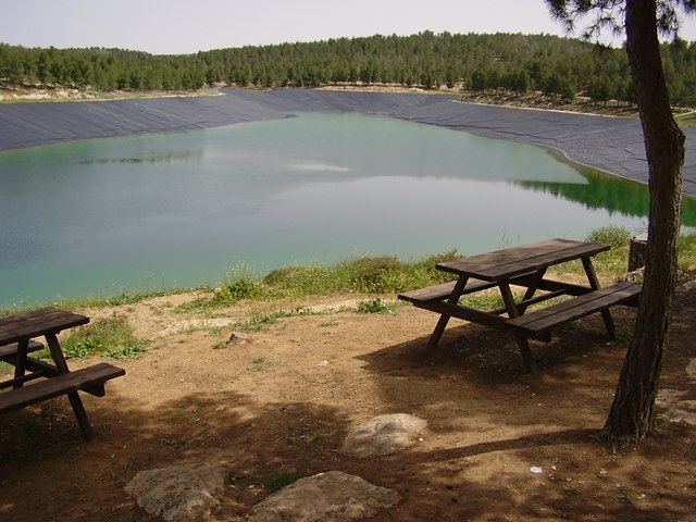
The small crater
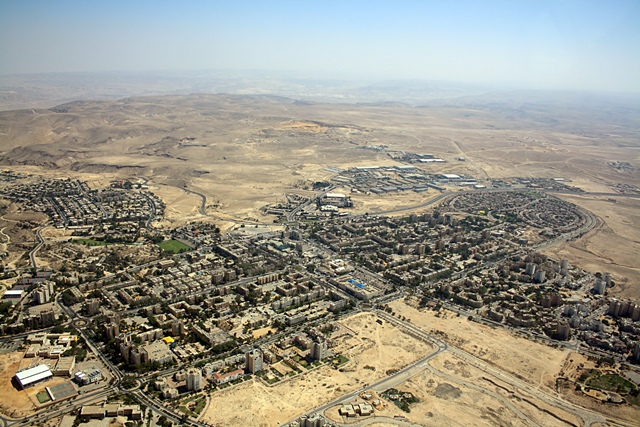
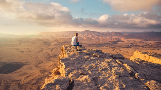
Ramon Makhtesh
Beauty in thousands of colors.
How the craters formed?
The craters that exist in the north of the Negev are a rare geological phenomenon that was created as a result of natural processes over millions of years.
How did it happen?
Millions of years ago the northern Negev region was covered by sea.
Skeletons of hundreds and thousands of dead animals sank to the bottom of the sea.
The calcium from which the skeletons are made decomposed and became the limestone rocks we know.
Later the sea receded and sand formed on top of the limestone rocks.
The sand was carried away with the winds and rains from the mountains that rose in the area following the rise of lava on the surface.
Air pressures in the area wrinkled the surface and made it wavy.
That was the first step.
In the next step, cracks were formed due to the wrinkling, into which the rain penetrated and widened them, the cracks grew bigger and bigger.
The layer of sand that is under the surface of the limestone was washed away with the rain and a situation was created where the layer of limestone is standing on top of a wall but there is nothing under it.
Eventually the chalk also collapsed and created a crater that grew larger over time.
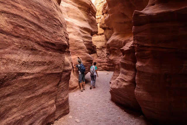
You can recognize part of the process by looking at the walls of the small crater.
On the route of the small crater :
The entrance to the crater is called “Shaar Ashmadai”, and it is at the point of its meeting with Nahal Hasra from which the water that flows into the crater is drained.
Park near the fenced building and walk along the path marked red, at the sign pointing up to the yard turn right and go up the path marked blue.
During the walk on the path we can identify sand of different colors. The reason for these colors is minerals that settled with the sand. The red sand indicates iron inventions, the green for copper and so on.
The path continues for 4 km and then begins a difficult climb of one kilometer, at the end we will reach the edge of the crater. From there we can observe the amazing view of the crater from above.
At the end of the route we will go to the path marked green that continues south on the edge of the crater. Walking here requires caution.
After a kilometer, the path descends in the abundant Mazar river, there is a bloom in the spring and the banks of its waters are full.
At the end we will continue with a dirt road to the left for 200 meters until the connection to the main dirt road that brought us to the crater.
pay attention!
The route is not circular and it is recommended to leave a car at the collection point.
You can also walk on the main dirt path to the starting point.
Important Information:
Route length: 12 km.
Time: a whole day.
Difficulty level: for beginners.
Arrival times: all year round, it is recommended to arrive in the spring. Do not come on rainy days or when there is a risk of flooding.
Equipment: protection from the sun since it is an exposed route. Comfortable shoes for a long walk and at least 4 liters of water per person.
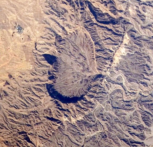
The picture at the top of the page is a picture of the crater taken from space by a satellite.
For more information about the Dead Sea, go here.